
Seeing Sheep Island Differently: An Aerial View of Northern Ireland’s Causeway Coast
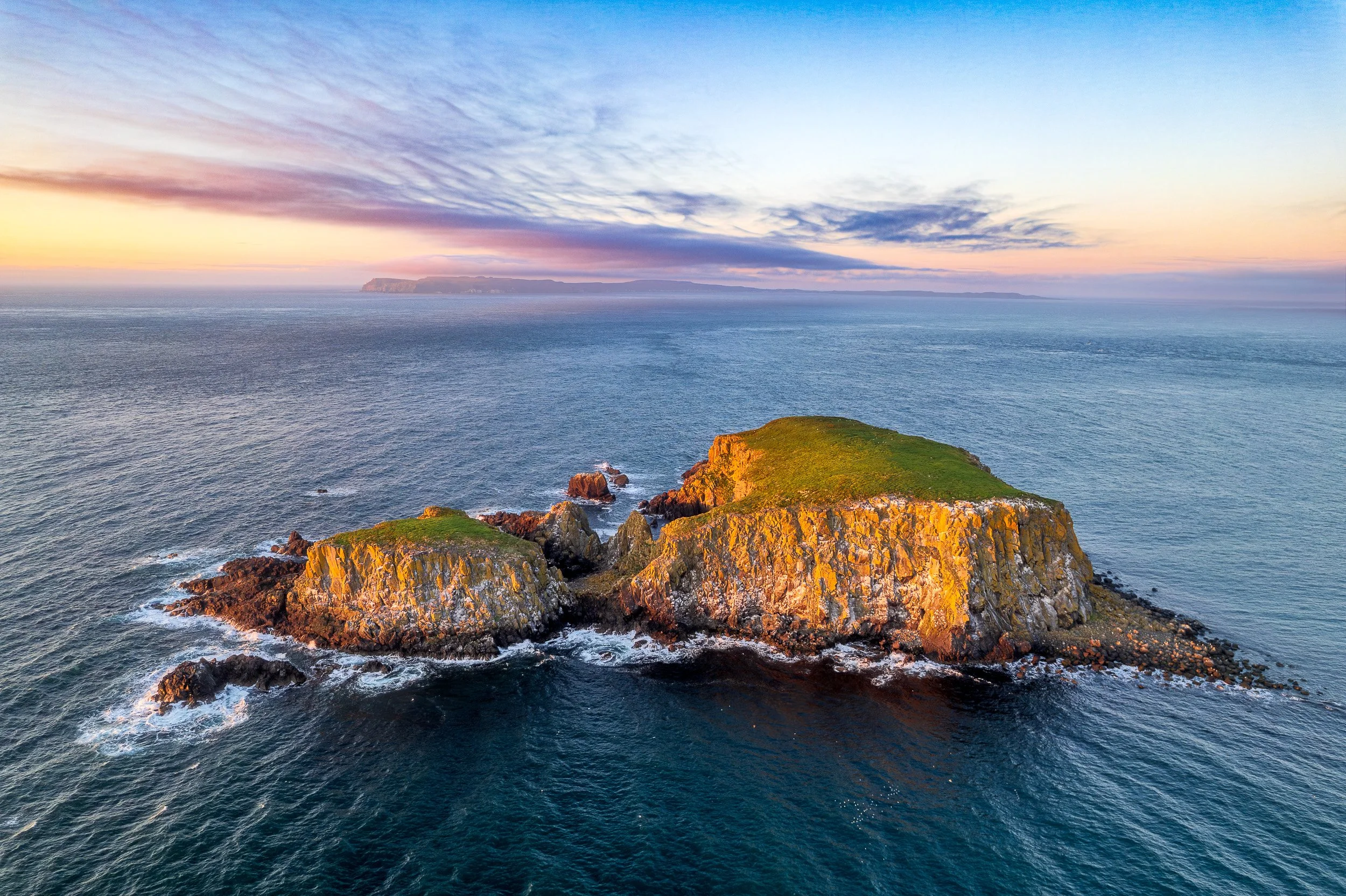
Sheep Island at sunset, photographed from the air off Ballintoy on Northern Ireland’s Causeway Coast using a DJI Air 2s.
Sheep Island will be very familiar to anyone who has visited Ballintoy Harbour. As you descend down the twisty road towards the harbour you will see Sheep Island off to your right. Imposing and rugged, this rocky island is one of the many natural features which lures Northern Ireland landscape photographers to Ballintoy.
For years, I had only photographed Sheep Island from the land. From that perspective I always imagined it as a relatively narrow slab of rock rising from the sea.
Seeing it from my DJI Air 2s completely changed that perception.
From above, Sheep Island reveals a surprisingly broad, grass-covered plateau, steep cliffs and small pebble coves that are largely hidden when viewed from the mainland. It is one of those landscapes where the aerial perspective doesn't simply give you a higher viewpoint; it shows you something about the place that you couldn't properly understand from ground level.
I made this aerial landscape photograph on a late-May evening when the low light transformed the island. The grass caught the warm light while the cliffs turned orange against the cooler sea. Beyond Sheep Island, Rathlin Island sat beneath layers of cloud as the sky shifted through yellow, pink and purple after sunset.
I photographed the scene with a DJI Air 2s, looking back towards a piece of the Causeway Coast I had photographed many times before — but had never quite seen like this.